
MADS PIHL/VISIT GREENLAND, 2016
For more than 4,000 years, the Kangerlussuaq area has been used by humans as hunting preserve for caribou hunters and trout fishermen, and you will be able to find traces of settlements, hunting activities and wellpreserved ancient monuments.
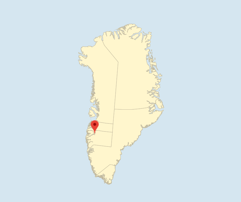
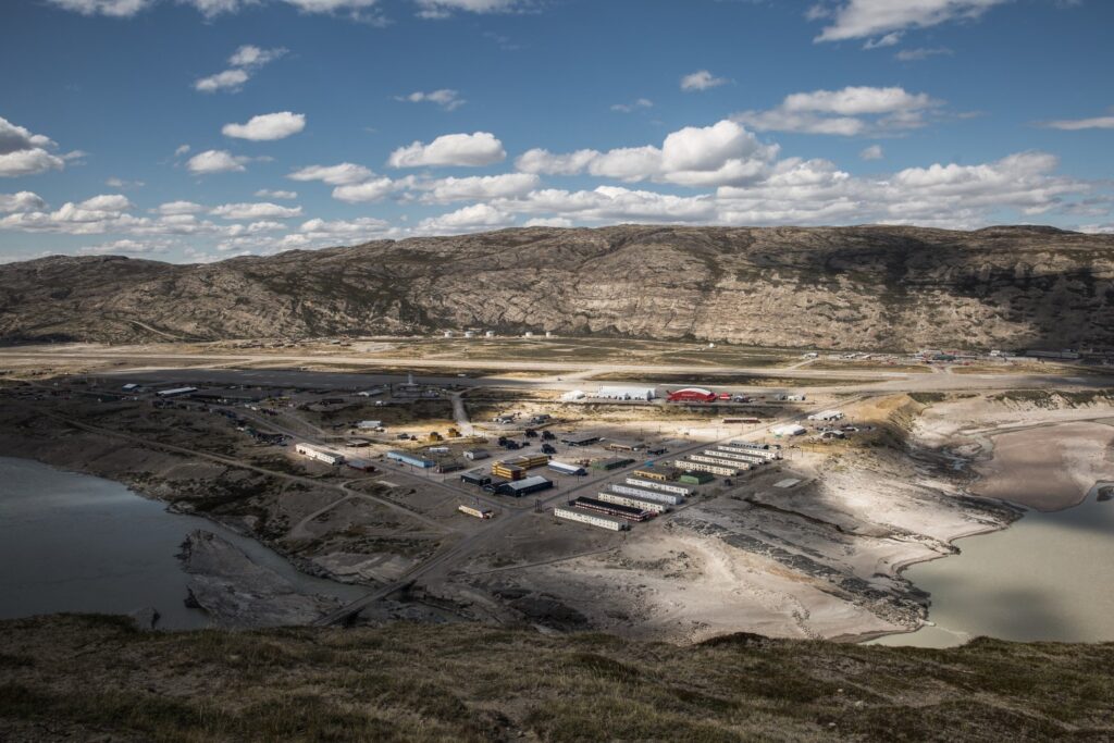
Like Narsarsuaq, the Kangerlussuaq airfield was built during World War II as part of the North Atlantic air bridge that connected the United States with Europe. The United States military established the airfield under the name Bluie West 8 in 1941. After the war, the base changed its name to Sondrestrom Air Base. The Greenlandic name means ‘the big fjord’ and refers to the 180 km long fjord leading into the airfield. The Danish name of the fjord and the airfield is Søndre Strømfjord.
Kangerlussuaq’s history

ASIAQ, 2022
The military base remained in operation during the Cold War, but now focused on serving the many radar stations that the Americans built around Greenland. Civilian flights began in the mid-1950s, and the civilian area of the airport was built in 1960, turning Kangerlussuaq into the gateway to Greenland. Already in 1954, Scandinavian Airlines (SAS) started flying to the western United States via Kangerlussuaq, and in 1967, SAS established the Copenhagen-Kangerlussuaq regular service. The United States Air Force left the base in 1992, primarily as a result of the end of the Cold War, and the base was given its original Greenlandic name Kangerlussuaq and was handed over to the then Home Rule Government. Mittarfeqarfiit (Greenland Airports) operated and maintained the airport, hotel, supplies and infrastructure until Kangerlussuaq acquired settlement status under Qeqqata Kommunia.
The Kangerlussuaq fjord only allows boat traffic for about six months of the year because it freezes over. Therefore, in the 1960s, a road link was considered between Søndre Strømfjord Airport and Sisimiut so that Sisimiut could be used as a transit port during the winter months.
Kangerlussuaq has been crucial as an international emergency airport for transatlantic routes, a function which the International Civil Aviation Organisation (ICAO) continues to fund.
The landscape clearly shows traces of its proximity to the ice edge, and loose sediment deposits from meltwater rivers and moraine deposits can be found throughout the area. The ice sheet to the east and Maniitsoq Ice Cap to the southwest protect Kangerlussuaq and help reduce precipitation. The wind-protected location at the head of the fjord provides optimum flying conditions in the otherwise harsh Arctic climate with winter temperatures down to and below -40 ºC.
Caribou and muskoxen are widespread and breed in the area. The same applies to peregrine falcons and the greater white-fronted goose. The muskoxen were introduced in the 1960s from East Greenland and currently numbers approx. 10,000 animals. By taking a suitable vehicle, both guests and permanent residents can easily get close to the rich wildlife.
Kangerlussuaq port lies about 16 km west of the airport area, and in the hinterland to the north lies the Kellyville research station where international scientists study e.g. the atmosphere.
Some cruise ships use Kangerlussuaq to disembark and embark passengers who are sailed ashore and to the ship by small boats because it is not possible to dock in the existing port, which is very shallow. Plans are under way for a new port on deeper waters further out along the north side of the fjord.
Kangerlussuaq covers a vast area and, thanks mainly to the Americans, has one of the longest road networks in the country. From the airport, it is possible to drive towards the fjord to the port and on to Kellyville where there are a number of leisure cabins. There are roads into the ice sheet, and to the south, there are roads up to and behind the Black Ridge mountain and below it there is a road to Lake Ferguson. There is at least 75 km of road in Kangerlussuaq.
In 2022, an approx. 130-km ATV trail will open between Kangerlussuaq and Sisimiut. It is unusual and is seen as the first step toward an actual road and new development opportunities for trade and industry, fish exports and tourism. Along the trail you can experience the UNESCO World Heritage Area Aasivissuit – Nipisat.
A diesel generator plant supplies the settlement with electricity and district heating, supplemented by an oil-fired heating station. Drinking water is retrieved from Lake Ferguson south of the settlement. Most of the buildings are connected to a sewer system, however, some have a sludge tank. Tusass (formerly Tele Post Greenland) provides communication lines via the Greenland radio link.
Kangerlussuaq has a health care station that, in consultation with the regional hospital in Sisimiut, treats patients. The settlement has an integrated day care facility for approx. 60 children, a primary school for about 80 children and a combined sports and swimming hall. The town has no elderly care or a retirement home.
Kangerlussuaq’s population trends, trade and industry and culture
During World War II, the base had more than 1,000 residents, all U.S. military personnel.
In 1978, there were 729 residents, and in 1993, the year after the military base closed, its population reached a low point at 291. Since then, the number has remained stable at 400‑500 residents, and as of 1 January 2021 463 people lived in Kangerlussuaq.
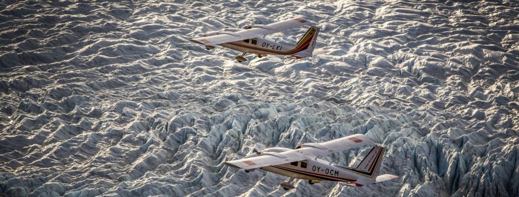
Pilersuisoq runs a convenience store just outside the terminal building and next to a Tele-Post service centre. Most businesses are linked to the airport, including Hotel Kangerlussuaq and 3‑4 hostels as well as KISS – Kangerlussuaq International Science Support, which supports the increasing number of researchers. There are some small and mediumsized tourist operators selling handicraft and offering excursions on land, on the water, in the air or by dog sled as well as trophy hunting.
The Kangerlussuaq Museum, which opened in 1997, includes a permanent exhibition which focuses on the military history of the base, the civilian airport and the transition into a research centre.
A drive to the ice sheet, with an 18-hole golf course at the halfway point, is spectacular. Access to the ice sheet was instrumental in allowing the international Extreme E motor race with electric rally cars in 2021 to be held near the Russell Glacier under great media attention.
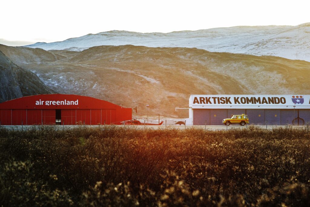
Kangerlussuaq remains Greenland’s main international gateway. At some point, all travellers to Greenland meet in Kangerlussuaq. The area has great tourism potential and can be developed as a hub for research and air transport between the United States and Europe. However, the outlook is uncertain with Atlantic airports in both Ilulissat and Nuuk expected to open to international traffic in 2024. On the other hand, Danish Defence has announced that they wish to maintain the airport, including as the primary base for the Joint Arctic Command’s airborne operations in Greenland.

Further reading
- Industry and labour market
- Infrastructure
- Maniitsoq
- Qeqqata Kommunia
- Sisimiut
- The climate in Greenland
- The five regional municipalities
- The ice sheet
- The sea and the fjords
- The Unity of the Realm and the Danish State
- The war years and subsequent decolonisation
Read more about the Municipalities and the towns in Greenland

